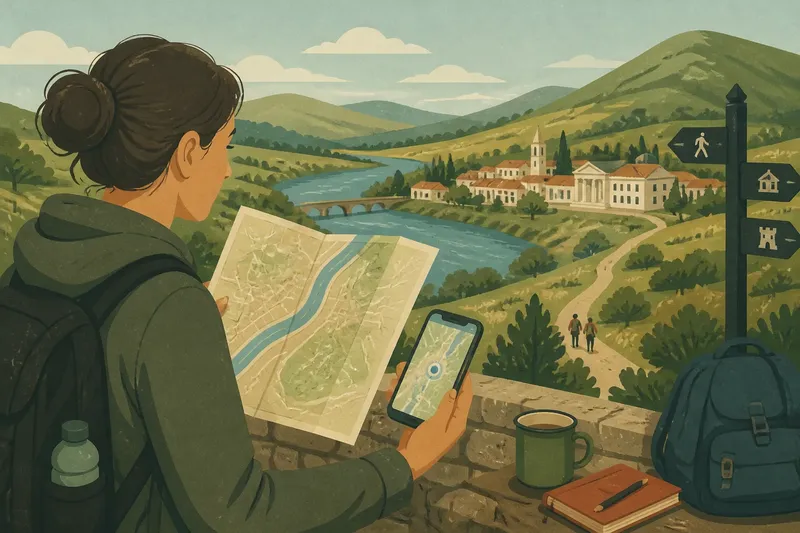
Why Old City Streets Rarely Make a Straight Grid
Why old city streets rarely make a straight grid: read slopes, old paths and building layers to understand confusing turns and choose a better way through.
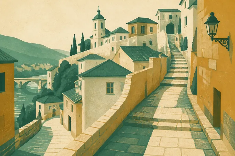
You leave a station expecting the market to be two straight blocks away, then meet a lane that bends uphill and disappears behind a church wall. Why old city streets rarely make a straight grid becomes easier to read when you treat each turn as a clue, not a mistake. The layout often records practical choices made at different times, on ground that was never as tidy as a map.
When the map misleads
A modern map can make a compact old centre look deceptively simple. Its thin lines flatten changes in height, hide steps and courtyards, and give every street a similar visual weight. A route that seems direct on screen may run into a steep passage or a lane that is open only to pedestrians.
Start by checking what kind of line you are following. A broad road may trace a later traffic route, while a narrow line can indicate an alley, stairway or passage through a building. Look for contour shading, elevation details, pedestrian symbols and labels such as “steps” or “arcade” in an app such as Organic Maps or Apple Maps. If the route still feels unclear, switch to satellite view and look for the slope of roofs and the shape of open spaces.
On the ground, pause at a junction and compare the map with visible landmarks: a tower, a river, a gate or a square. Keep the map oriented to your direction of travel if that helps. The useful question is not whether the street is straight, but whether the next landmark lies uphill, downhill or beyond a barrier.
When slopes bend the route
Hills make straight streets costly to build and awkward to use. A lane may wind around a steep rise, follow a gentler contour, or switch direction through steps. Streets beside a river can curve with its bank; in a walled settlement, a narrow entrance may funnel movement towards a bridge or gate.
Look for the terrain’s larger shapes. A long, gradual bend often follows a hillside rather than a property boundary. A steep stairway may connect two levels directly where carts and wheeled luggage would struggle. At a viewpoint, notice how roofs step down the slope: the street pattern usually makes more sense once you can see the height difference.
Say you are heading from a riverside square to a museum on a ridge, and your map offers a short route through several steps. If you have a pram or a wheeled case, choose the longer road that curls around the slope instead. The observable difference is a gentler approach, even though the route covers more ground. If accessibility matters, check the map’s terrain and route notes, then ask locally about lifts or step-free links.
When an old path survives
Some streets keep the line of a route that existed before the surrounding blocks. A track between a water source and a settlement, a path along a ridge, or a road towards a bridge can persist as neighbourhoods expand around it. Later streets meet it at odd angles because they were laid out for different purposes.
These inherited routes often have a recognisable feel: they continue through several districts, pass an old gate or market, or connect a river crossing with a central square. Their names may preserve a hint, but names change and need not tell the whole story. Treat them as clues rather than proof. A present-day street can follow an older route without looking ancient, especially where buildings have been replaced.
To interpret a confusing junction, look beyond the nearest corner. Does the lane continue towards a bridge, a former gate or a prominent hill? Does it carry on while newer streets stop at it? That continuity can explain why the intersection feels lopsided: one route arrived first, and the others joined later.
When blocks change character
Old centres are rarely built all at once. A house may have been divided, a garden filled in, or a large plot split into smaller parcels. Over time, new passages thread between buildings, while older walls and property lines remain. The result can be a street that narrows, changes name or makes a sharp turn without any obvious landscape reason.
Look for seams. A broad lane that suddenly pinches between stone walls may mark the edge of an older plot. A small square tucked behind a busy street may have begun as a courtyard or shared open space. A straight frontage beside a crooked lane can signal that one row of buildings was rebuilt more recently than its neighbours.
Here, it helps to separate the street’s current job from its origin. A passage may now serve cafés and foot traffic, though its shape began as a gap between private properties. A plaza may feel deliberately planned, yet still sit within an irregular older network. Reading the join between forms is often more informative than trying to assign the whole district to one period.
When a turn seems pointless
A dead end or abrupt bend can be frustrating, particularly when it appears to lead nowhere. Often, the route once continued through a gate, courtyard or building that later changed use. A wall may now block a connection, or a private entrance may look like a public passage on the map.
Before doubling back, check for a signed pedestrian route, a public arcade or a nearby parallel lane. Do not assume that an open-looking doorway is a shortcut; it may lead into private space. If you cannot see the way through, retrace your route to a clear junction and try the next public street rather than squeezing through an uncertain gap.
Questions at a junction?
Why are old streets so narrow?
They often served walkers, carts and local access rather than modern through-traffic. Buildings and property lines could also press close to a lane, leaving little room to widen it later.
Why do streets change names?
A name may change at a square, former boundary or major junction, even when the route continues. Follow landmarks and the street’s direction rather than relying on one label alone.
How can I tell if a lane is public?
Look for public signs, consistent pedestrian access and confirmation on a current map. If a passage appears to enter a home, courtyard or business, use the signed street instead.
Why does the map show a route I cannot use?
Maps may not show temporary closures, private access or every stairway condition. Check the route on another map layer and follow posted signs on the ground.
Read the pattern
When a route feels illogical, ask what it is adapting to: a slope, an older connection, a property edge or a later rebuild. That question makes the detour legible without pretending every crooked lane has one neat explanation. For why old city streets rarely make a straight grid, the most useful habit is to look from the junction outward: the surrounding terrain and the street’s connections often explain more than the bend itself.
Before setting off again, identify one clear landmark beyond the next turn and check whether the route is public and suitable for your pace. A winding street can be a record of how people moved through a place, but your best route is the one that fits the ground beneath your feet today.