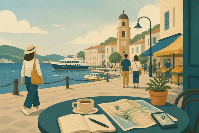
Paper Map or Offline Map: What Each Helps You See
Paper map or offline map? Learn which one makes route planning clearer, from seeing the whole landscape to checking a street-level turn.
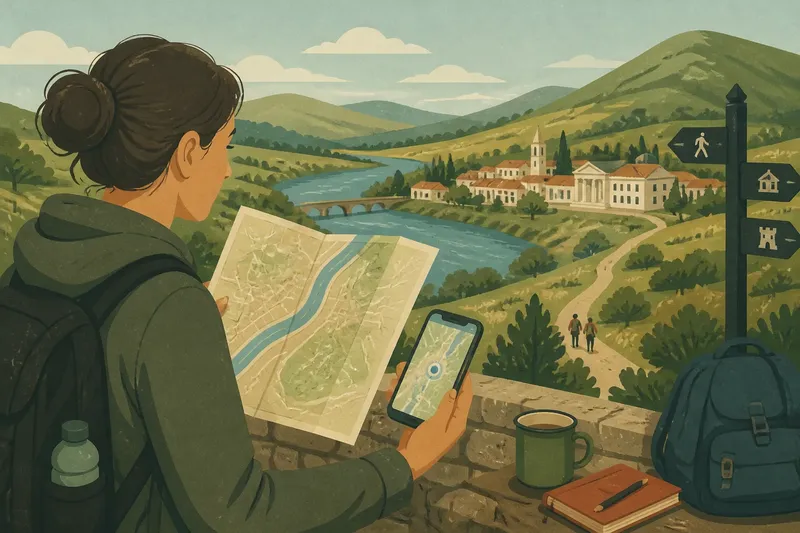
You are standing by a station exit, trying to work out whether the river is between you and the museum or just beside it. A paper map makes the larger shape easy to read; an offline map on your phone can show the next turn. For route planning, the choice is not really paper versus screen. It is a question of what you need to see at each point.
Both formats can work without a signal, but they offer different kinds of attention. These six comparisons can help you choose one, or decide to carry both.
1. The wider landscape
A folded paper map often gives you a generous view at once. You can see neighbourhoods, rivers, hills, rail lines and roads in relation to one another without changing the scale. That broad view is useful before you commit to a route: it can reveal that two places which look close on a phone are separated by a steep slope, a railway cutting or a large park with only a few entrances.
An offline map can show the same area, but you usually have to zoom out and then zoom in again. The movement is simple, though it can make it easier to lose the larger picture. If the journey involves several districts or a change from town to countryside, paper can be a calmer surface for seeing how the pieces fit.
For a trip with a compact route and familiar street pattern, that broad view may matter less. For a day that crosses a valley, follows a coast or links several settlements, it can be the difference between choosing a route by its shape and choosing it by a line on a screen.
2. Street-level detail
Offline maps are particularly handy when the question is precise: which lane leads to the guesthouse, where does the footpath meet the road, or which side of a large building has the entrance? A phone lets you zoom in quickly, and many mapping apps show named streets, paths, points of interest and your approximate position. The exact detail depends on the map data saved to the device.
Paper maps vary just as much. A regional road map may leave out narrow lanes and minor paths, while a city map can devote a whole sheet to a small area. Look at the scale and the legend before relying on it for a walk. A symbol for a footpath, for example, may indicate a mapped route without telling you whether it is currently open or suitable for your plans.
Suppose you are planning an invented walk from a village railway station to a hilltop garden. You mark the garden on a paper map and notice that the direct route crosses a wooded ridge. Then you check the same area in an offline app and see a named lane winding around the lower slope. The expected result is not automatic certainty; it is a more informed choice between the broad route and the detailed alternative.
3. Keeping your bearings
A paper map does not announce where you are. You have to match visible features—perhaps a bridge, a church tower or a bend in the river—to the map. That takes practice, but it encourages you to notice the surrounding place. You begin to recognise a route as a sequence of landmarks rather than a string of instructions.
An offline map can place a location marker on the screen, which is reassuring when streets look alike or a path branches. Yet the marker is not a substitute for checking the landscape. It may drift, the map may lag, or your phone may be pointing in a different direction from the one you are facing. Turn the map to match a clear landmark, then compare the next visible feature with the route.
For many travellers, the most helpful habit is to use the phone to settle uncertainty and then look up. A blue dot can help you identify the correct street; a glance at the actual slope, river or junction helps you understand what comes next.
4. Routes and alternatives
Paper is strong at comparison. You can trace two possible routes with a fingertip, notice where they converge, and see whether one follows a river while the other climbs through a village. This makes it easier to talk through a plan with a companion without handing over a small screen or switching between map views.
Offline apps are better for inspecting specific segments. You can search for a station, ferry terminal or named trail, then check how a route connects to it. Depending on the app and the map data, route-planning features may work with saved maps, or may require a connection. Do not assume that downloading an area also saves every search result, route instruction or transport timetable.
When the journey has several plausible paths, use the paper map to compare their geography and the app to inspect the junctions that could be confusing. If you are following a designated walking route, check its current status with the relevant local authority or trail organisation before setting out. A line printed on either kind of map is not a live notice about closures.
5. Power and practicalities
A paper map needs no battery, charging cable or screen brightness. It can be opened in a place where you would rather not handle a phone, and it remains available if your device is lost or damaged. Its drawbacks are physical: rain can soften it, wind can make it awkward to hold, and the right panel may be folded underneath at the moment you need it.
An offline map is light to carry and easy to enlarge, but the phone still depends on its battery. Download the map area while you have a reliable connection, and check that it opens without data before travelling. Keep the phone charged and consider a power bank if you expect to use navigation for a long day. A saved map cannot help if the device itself is unavailable.
Paper maps also have limits as records of change. A newly rerouted path, renamed street or closed bridge may not appear in an older edition. Digital maps can be updated, but an offline copy remains the version saved to your device until refreshed. For roads, paths and access rules that affect safety or permission, follow current local notices and the relevant authority’s guidance.
6. Choosing a working pair
You do not have to make one format do every job. A useful pairing is a paper map for the route’s overall shape and an offline map for close inspection. Before leaving, mark your start, destination and a few recognisable intermediate places on the paper copy. Save the relevant digital area, then open it in flight mode to confirm that the part you need is available.
Keep the two views at roughly corresponding scales when comparing them. If the paper map shows a broad area and the phone is zoomed in to a single block, it is easy to mistake a local bend for a major change of direction. Check the map legend, names and landmarks on both, rather than assuming that a similar-looking line means exactly the same thing.
For a short urban walk, an offline map may be all you need, especially if the streets are clearly named. For a route with several landscape features or branching paths, a paper map can make the setting easier to understand. If you are travelling somewhere unfamiliar and carrying both is practical, they complement one another without requiring a complicated system.
Which map fits your route?
Can an offline map work without mobile data?
Yes, if the map area has been saved to the phone and the app supports offline viewing. Check that it opens with mobile data and Wi-Fi switched off before you leave.
Is a paper map better for walking?
It can be useful for seeing the landscape and comparing paths, particularly outside a compact town. For fine street detail or confirming a nearby junction, an offline map may be easier to read.
Should I save a route as well as a map?
If your app offers route saving, it can help keep a planned line accessible, but the feature may behave differently offline. Save the map area too, and check the route on the device before setting out.
What should I do if the map and signs disagree?
Do not treat either map as more authoritative than a clear local closure or access notice. Pause, check information from the responsible local authority where available, and choose a lawful, suitable alternative.
For the best paper map or offline map choice, start with the question you will ask most often: “Where am I in the larger landscape?” points towards paper; “Which turn or path entrance is this?” points towards the phone. Knowing that difference makes it easier to carry the right view, and to look up from either one before the next turn.